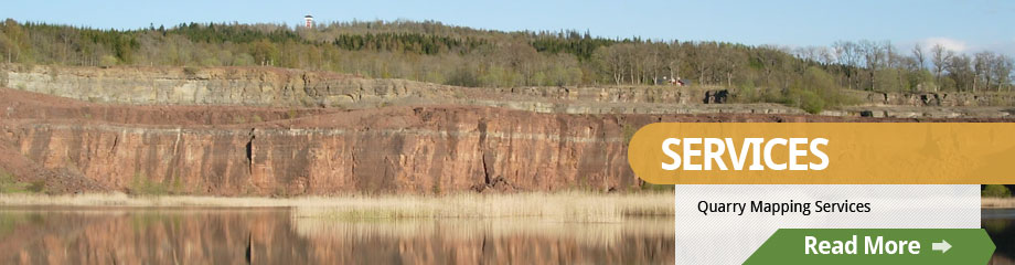
RHCS has assisted quarry operations with creating bedrock models that determine the volume of rock left for production at a quarry. The results are helpful for discussions on quarry development and future use. RHCS also creates geologic resource maps showing the potential for opening new sand and gravel or bedrock quarries. We can not only show where the materials are likely to be found, but also bring in other cultural and economic factors such as distance to nearest competitor or zoning maps in to one efficient system for analysis. If you are interested to learn more, please contact us.